
Walk a Shelby County Street
For a current address, begin with the Shelby County Assessor of Property. Its property search and related map tools connect an owner name and a parcel to a situs address, a tax mailing address, land use, and a displayed tax year. Those fields answer an ownership and parcel question. They do not by themselves establish who occupies a home. Preserve the address spelling returned by the record, including a unit if one appears, before trying other systems.
- Search the address, owner, or parcel in the Assessor record. Keep the parcel ID, situs address, and legal-description clues together.
- Open the parcel in the GIS map and inspect the parcel polygon, nearby parcels, ZIP, municipality, and land-use context.
- Use the Register address, parcel, subdivision, or party search to find a recorded instrument tied to the property.
- Read the instrument image when it is available. If the property is older or the image is absent, retain the instrument number and use the Register's request routes.
- For a past household, check the street section of an appropriate historical directory, then compare the named listing with the alphabetical section and census date.
Each step has a different job. A parcel map orders geography, a deed identifies transaction parties, and a directory can place a historic occupant at an address. The street directory is strongest when those roles stay separate.
Search Fields for Shelby County Parcels
The Assessor advertises owner-name and property/address searching, along with GIS Map Search and Neighborhood Sale Search. The County's parcel service exposes address components, owner fields, parcel identifiers, land use, zoning, neighborhood, tax year, units, and ZIP attributes. A field can be useful without proving residence. In particular, the ownership-table address sequence is a tax-mailing sequence, while parcel address fields identify the site of the parcel.
| Search field or mode | Format | Required | Shelby County use |
|---|---|---|---|
| Owner name | Text | No | Try current owner names, initials, and variants. |
| Situs or property address | Text | No | Use the number and street, then compare direction, suffix, and unit fields. |
| Parcel ID | Text | No | Carry the exact identifier into GIS and Register work. |
| Map click or identify | Map action | No | Shows a parcel polygon and supports review of adjoining parcels. |
| ZIP and tax year | Attribute | No | GIS exposes ZIP1, ZIP2, and TAXYR attributes; the Assessor's exact controls are dynamic. |
| Land use, zoning, neighborhood | Layer or attribute | No | Provides geographic context, not a household claim. |
| Query or export | ArcGIS operation | No | The parcel service supports public query and export, with a 1,000-record maximum. |
When a street name is uncertain, owner and parcel searches are useful alternatives. A multi-unit parcel needs another check because a single owner row may cover several units. Note: the displayed tax year helps date an ownership statement.
Map Shelby County Street Parcels
The Shelby Register GIS viewer is the practical way to move down a street instead of guessing from one parcel result. Click or identify the subject parcel, then note parcel order on both sides of the roadway. The official service includes parcel geometry, owner and address attributes, ZIP, zoning, land use, and neighborhood fields. Use its municipality and city-boundary context as well, since a Memphis postal label does not always settle the legal jurisdiction.
The county spans 783 square miles, while 317 square miles lie within Memphis city limits. That split matters for a street directory because an address can cross municipal or county service boundaries while retaining a familiar postal city name.
See the official Shelby Register GIS parcel viewer before relying on a street sequence.
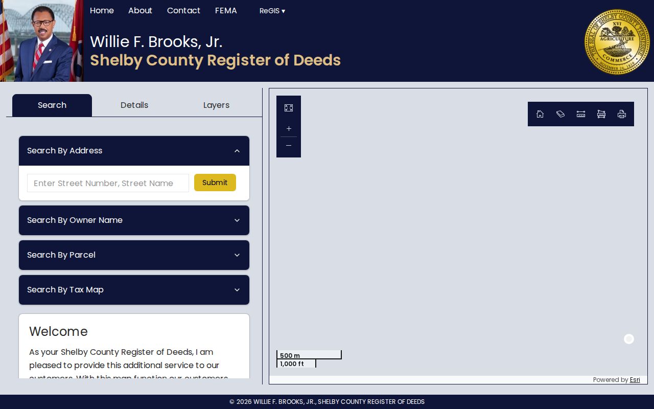
The viewer supplies parcel geography and nearby-property context. It does not supply a roster of people living at each parcel, so owner and address fields should remain labeled as parcel-record information.
Shelby County Street Record Coverage
Address-keyed sources fit together, but they are not interchangeable. Use the record that answers the question at hand, then retain its source and date. The following coverage table separates ownership, geography, historical occupancy, and activity at an address.
| Address source | Custodian | Street question answered | Access route |
|---|---|---|---|
| Assessor parcel card | Shelby County Assessor | Current tax owner, situs and mailing addresses, parcel, class, and tax year | Online search, GIS, or the Assessor office |
| GIS parcel layer | ReGIS / Register GIS | Parcel location, adjoining polygons, ZIP, zoning, land use, and neighborhood | Public map, identify, query, or export |
| Deed index and image | Register of Deeds | Grantor, grantee, date, instrument, and legal description | Index and available images, then copy or office fallback |
| Historic directory | Register / Memphis Public Libraries | Annual address occupant or business listing | Digital archive or library volumes |
| Permit or code record | City of Memphis | Project, applicant, inspection, or title-notice trail | Develop 901, city office, or records request |
A public registration lookup can corroborate an individual registration when its legal conditions are met. It is not a street-wide household list, and its result should not be merged with an Assessor owner field into a claim about every person at an address.
Shelby County Deeds by Address
The Shelby County Register property search offers party-name, grantor/grantee, instrument number, book/page, file number, parcel or lot, address, city, ZIP, subdivision, and instrument-type modes. Its own address instruction is a useful local quirk: omit direction and street type for an initial search, such as MAIN rather than N MAIN ST. City, ZIP, and subdivision are not present on every recorded document, so an empty address search calls for a parcel, lot, subdivision, legal-description, or party-name retry.
For a recent transfer, search the address or current owner, then read the latest instrument for grantor, grantee, recording date, instrument number, book/page, legal description, and prior-deed reference. A warranty deed, quitclaim, substitute trustee's deed, appointment of substitute trustee, mortgage, court decree, or affidavit of heirs can lead to very different next records. An index hit is a lead, not a complete ownership narrative.
Use the Register's deed and property index to see the available search modes.
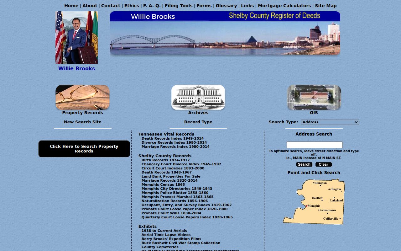
If an index result has no image, the Register says the series may be unavailable online, confidential, held elsewhere, or tied to an incomplete instrument number. Many records can be viewed or copied online without charge; unavailable documents may be requested by email, mail, or in person. Office copies are listed at $0.50 per page, except plats at $1.50 per page, and certified copies are listed at $1 per page.
Shelby County Address Meanings
One street address can produce several address-like values. Keeping them apart prevents the most common error in street-by-street research: treating a tax contact or a legal description as an occupancy statement.
- Parcel
- A mapped unit of land identified by a parcel ID. It may hold one home, multiple units, a vacant lot, or a commercial use.
- Situs address
- The physical site label associated with the parcel. It identifies where the parcel sits, not necessarily its owner or every occupant.
- Tax mailing address
- The address used for the tax account. It can belong to an owner, trust, bank, attorney, business, or other representative.
- Legal description
- The lot, block, subdivision, metes-and-bounds, or other recorded land description that ties older documents together when street labels differ.
- Plat
- A recorded map that lays out a subdivision's lots, blocks, streets, or easements. It can connect a street address to the legal description.
- Criss-cross directory
- An address-to-occupant directory arrangement. Exact Shelby County reverse-directory runs and publishers need confirmation volume by volume.
A homestead or exemption flag is evidence about a tax account. It is not conclusive proof that a named owner currently occupies the property.
Shelby County Street Activity Records
Memphis Develop 901 offers property lookup by address, owner, or parcel and can add a project timeline to a street record. A result may identify an applicant, contractor, work description, permit status, inspection, or planning activity. City code enforcement can also produce a title-search and notice trail in the right case. Neither source identifies all occupants, and an applicant should not be assumed to be the owner or current resident.
When the online route does not expose a needed existing record, contact Develop 901 at 901-636-6500 or the permit office at 901-636-6711. For a written request, identify the existing record, address, date range, and agency custodian. Tennessee's public-records process does not require a custodian to create a new report.
Shelby County Street Voter Boundaries
Tennessee's current registration lookup requires county, first name, last name, birth month, and birth year. GoVoteTN offers another name-or-address route and asks for information exactly as it appears on the registration card. Those are individual lookup tools. A full street or county list follows a different legal path: the Shelby Election Commission says voter lists are available to Tennessee citizens for political purposes with the required certification, at production cost.
Registration data has important limits. Sensitive identifiers, absentee details, ballot choices, protected-voter information, and Safe at Home records are not ordinary public street results. A returned registration describes registration, not every person at a property. Note: election requests can be paused around elections, so confirm the Commission's current procedure before submitting one.
Historic Shelby County Street Listings
Old address work shifts from current parcels to directory street sections. The Register archive offers digitized Memphis city directories for 1849-1943, while the Memphis/Shelby County Room lists city directories from 1849-1994 and suburban directories from 1964-1994. Search the street section for the address, then check the alphabetical section for a matching name. The broader collections belong in the Shelby County Directory Book; the useful street step is simply matching a dated address entry to its annual volume.
Names, directions, suffixes, annexations, and private-drive addressing can change. For an older street that will not match, compare historic maps and directory sections, then carry the parcel's lot, block, subdivision, or legal description back to the Register. A historical absence is not proof that no one occupied the address.
Limits of a Shelby County Street Directory
Public property data cannot create a complete street roster. Utilities, delivery records, and DMV personal-address data are restricted, and an apartment parcel may have one owner record but many units. Protected voters and Safe at Home participants may be absent or represented differently. A mailing address outside the county is a tax-contact clue, not a claimed residence.
Lawful personal use. Use Shelby County address records for family history, property questions, civic research, or other lawful personal purposes. Tennessee's anti-stalking law, T.C.A. § 39-17-315, covers repeated monitoring, observing, or tracking conduct; do not use records to harass, intimidate, or harm anyone.