
Shelby County ZIP Codes and Coverage
ZIP codes are delivery geography, not a roster or a city-boundary system. Shelby County’s GIS ZIP polygon layer and county map identify a wide mix of standard residential, partial-county, post-office-box, unique, institutional, and specialized designations. The table selects standard residential areas documented by county map sources. The Post Office column uses the postal city or community label found in those sources, not an invented retail-station name. A street address still needs a current USPS check.
| ZIP | Areas Covered | Post Office | Notes |
|---|---|---|---|
| 38002 | Arlington and Lakeland area | Arlington / Lakeland | Standard residential, eastern or northeastern county |
| 38016 | Cordova | Cordova | Standard residential |
| 38017 | Collierville and nearby communities using its postal label | Collierville | Standard residential |
| 38018 | Cordova | Cordova | Standard residential |
| 38028 | Eads and eastern county | Eads | Standard residential |
| 38053 | Millington and Barretville area | Millington | Standard residential, northern county |
| 38103 | Downtown and riverfront core | Memphis | Standard delivery area |
| 38104 | Midtown, Central Gardens, and Cooper-Young vicinity | Memphis | Standard delivery area |
| 38106 | South Memphis | Memphis | Standard delivery area |
| 38111 | University and Midtown-east area | Memphis | Standard delivery area |
| 38115 | Hickory Hill and southeast | Memphis | Standard delivery area |
| 38116 | Whitehaven and southwest | Memphis | Standard delivery area |
| 38117 | East Memphis | Memphis | Standard delivery area |
| 38119 | East Memphis and Poplar corridor | Memphis | Standard delivery area |
| 38122 | Northeast urban area | Memphis | Standard delivery area |
| 38125 | Southeast and Shelby Farms-south fringe | Memphis | Standard delivery area |
| 38127 | North and northwest | Memphis | Standard delivery area |
| 38128 | Raleigh and north Memphis | Memphis | Standard delivery area |
| 38138 | Germantown | Germantown | Standard residential |
| 38139 | Germantown | Germantown | Standard residential |
These rows are a selected standard-residential set, not a statement that every code shown by a county map is an ordinary residential delivery area. Codes near county edges, addresses served under a neighboring postal label, and any unusual delivery pattern require address-level verification.
The county commission map visibly labels 38002, 38004, 38014, 38017, 38018, 38023, 38027, 38028, 38029, 38053, and many 381xx codes. Several remain outside this standard-residential table because the research identifies them as partial-county, post-office-box, unique, institutional, or specialized delivery designations. Selecting the documented standard rows avoids presenting every code on the map as a normal street-delivery area.
Shelby County ZIP Code Geography and City Lines
Shelby County covers 783 square miles, while 317 square miles lie inside the Memphis city limits. That geography includes Memphis, Arlington, Bartlett, Collierville, Germantown, Lakeland, Millington, Cordova, Eads, Ellendale, Brunswick, and unincorporated areas. A postal city label can therefore overlap a different legal municipality or an unincorporated parcel. Postal Memphis is not a conclusive municipal designation.
This boundary difference changes the right search path. Compare the county ZIP polygon, the City of Memphis Boundary, and Municipality Boundary layers before treating an address as a city address. Postal city text is useful for delivery, while the recorded parcel, legal description, and government boundary layer answer different questions. The Shelby County Register GIS is a better starting point for an address and parcel relationship than a ZIP label alone.
Memphis 381xx ZIP Code Bands
The 381xx range contains familiar Memphis-area delivery bands, but it is not one uniform neighborhood map. County and local map descriptions associate 38104 with Midtown, Central Gardens, and the Cooper-Young vicinity; 38111 with University and Midtown-east; 38115 with Hickory Hill and southeast Memphis; 38116 with Whitehaven; 38117 and 38119 with East Memphis; 38125 with the southeast and Shelby Farms-south fringe; and 38128 with Raleigh and north Memphis.
Those area labels help orient a search, not settle a boundary dispute. Neighborhood studies at Memphis Public Libraries use still finer local geography, while parcel and municipal layers define the records relationship. A broad ZIP result should be reduced to an address or parcel before it is compared with any directory, deed, or historical source.
Shelby County ZIP Code Exceptions
Several codes shown in official or postal-source lists need to be handled as verification targets rather than assumed residential areas. The research identifies limited or post-office-box designations for Brunswick, Collierville, Ellendale, Millington, and Cordova labels, as well as unique, institutional, and specialized Memphis delivery codes. They may be valid postal identifiers, but they do not describe a normal polygon of ordinary street deliveries.
| 38014, 38027, 38029 | Brunswick, Collierville, and Ellendale labels reported as PO Box or limited delivery designations. Verify with USPS. |
|---|---|
| 38054, 38055, 38083, 38088 | Millington and Cordova codes reported as PO Box, unique, institutional, or limited delivery designations. |
| 38101 | Downtown Memphis PO Box or unique delivery, not a normal residential polygon. |
| 38152 | University of Memphis institutional unique ZIP. |
| 38110, 38113, 38121, 38123, 38124, 38129-38132, 38136-38137, and later specialized 381xx codes | Specialized, industrial, PO Box, or limited delivery categories in the research. Confirm the particular address with USPS. |
No verified Shelby County ZIP split or realignment year was located. A changing postal label should be checked in the contemporary USPS tool rather than assigned an unsupported date.
Finding Residents by Shelby County ZIP Code
A ZIP-focused search works best as a geography filter, then an address-and-record review. The Register address search offers an optional ZIP field, but the Register warns that ZIP is not present on every document. The Tennessee voter lookup does not use ZIP searching. Its address and name process returns registration and district information, not a ZIP-wide household list. Use the county ZIP polygon and parcel data first, then test individual records.
- Verify the street address and ZIP with USPS before accepting an online map or a mailing label.
- Use the county ZIP polygon layer to identify the delivery geography, then compare it with City of Memphis and municipality boundaries.
- Inspect parcel attributes or the Assessor’s Property Search to narrow the work to an address, parcel ID, or owner name.
- Use the Register’s optional ZIP field as a supporting filter, while checking address, city, subdivision, and other available record fields because ZIP can be missing.
- Move to the Shelby County street directory lookup when the ZIP has been narrowed to a particular street or address.
ZIP geography can organize a search, but it cannot establish that everyone connected with a ZIP lives at a particular address. Keep the parcel’s situs address, mailing address, and postal ZIP separate.
Shelby County ZIP Code GIS Fields
The county ArcGIS parcel service exposes fields that help compare the geographic and mailing sides of a record. They are parcel-data fields, not proof of household membership. The Register’s address search separately offers an optional Zip field and cautions that city, ZIP, and subdivision do not appear on every document. Combining the two sources is more reliable than treating a single query as complete.
| Field | What It Shows | Search Use |
|---|---|---|
| ZIP1, ZIP1_1, ZIP2 | ZIP-related parcel and ownership-table fields | Compare reported postal values, not just one label |
| CITYNAME, CITY_1 | City-related parcel fields | Compare city text with the municipal-boundary layer |
| ADDR1-ADDR3 | Address fields, including the ownership-table mailing sequence | Do not assume mailing address equals the parcel’s situs address |
| PARCELID, PARCELID2 | Parcel identifiers | Carry a precise parcel between GIS, assessor, and Register research |
| NBHD, ZONING, TAXYR | Neighborhood, zoning, and tax-year fields | Use as location context, not as a postal-boundary answer |
| Register Zip field | Optional document-search filter | Supplement address and other fields because ZIP is not on every document |
Shelby County Register property search and the county parcel layer each describe a different part of the address trail.
Shelby County ZIP Code Boundaries and Memphis Limits
Postal geography and incorporated limits routinely diverge in Shelby County. A Cordova-adjacent or Bartlett-adjacent parcel may use a Memphis postal label, while a Germantown or Collierville label can sit close to, or reach beyond, an incorporated boundary. The comparison needs ZIP, municipality, and parcel layers together. A ZIP polygon tells where the mapped delivery geography lies, not whether a street has one legal civic identity.
- ZIP vs. ZIP+4
- A five-digit ZIP identifies a broad delivery area. ZIP+4 adds a smaller delivery segment for a particular address or group of addresses.
- PO Box ZIP
- A code used for post-office-box or limited delivery service. It should not be treated as a normal residential map area without USPS confirmation.
- Unique ZIP
- A code associated with an institution or specialized recipient, such as the University of Memphis ZIP identified in the research.
- Carrier route
- A mail-delivery grouping inside postal operations. It is not a municipal boundary or a complete list of people at addresses.
USPS Confirmation for Shelby County ZIP Codes
Use USPS ZIP Code Lookup for the final postal answer on a particular street address. That check is especially important for partial-county codes, specialized designations, a postal city label that differs from the legal municipality, and any address near a delivery boundary. It also avoids treating an older directory or a map label as current mail-routing evidence.
USPS provides its ZIP Code Lookup for address-level verification.
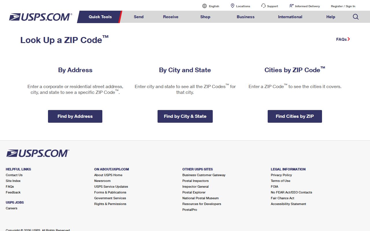
The USPS result confirms the postal result for a street address, while county GIS remains useful for comparing that address with parcels and public boundaries.
Shelby County ZIP Code Map Limits
The Shelby County ZIP Code polygon service is the most useful local geography layer in the research, but it is not a USPS delivery-point database. The county planning map also warns that it is not a legal survey and that source layers may not align. Use the layer to understand coverage and compare boundaries, then use USPS for delivery verification and the appropriate custodian record for a parcel or legal question.
Shelby County publishes ZIP polygon layer metadata through its ArcGIS map service.
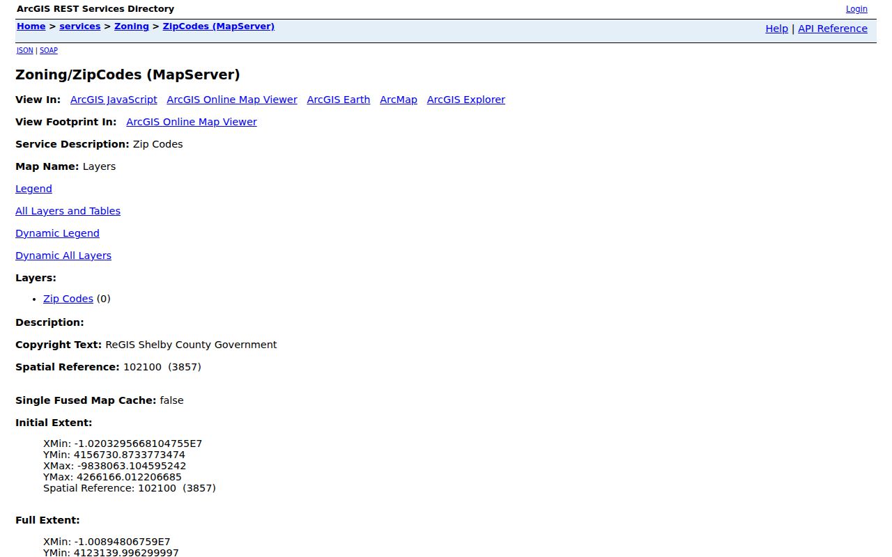
The map layer gives a geographic comparison, not a legal survey or a guarantee of the current postal delivery assignment.
Note: The available sources do not publish one authoritative all-ZIP, area, and post-office table, so unusual codes require USPS verification.