
Shelby County Neighbors by Block Source
A responsible block search separates geography, ownership, registration, and community contacts. ReGIS and the county parcel service map parcel polygons, letting a reader identify the lot at an address and examine a lot that shares a boundary or sits across the street. The Assessor supplies tax-record fields for each parcel. The Register’s index adds a dated ownership sequence. These are separate kinds of evidence, and none of them creates a complete roster of Shelby County neighbors.
| Source | What it shows about a block | Access path |
|---|---|---|
| ReGIS / Register GIS | Parcel boundaries, adjacent polygons, and map context | Public map identify, query, and layer tools |
| Assessor property search | Tax owner, situs, mailing fields, value, class, and exemption data | Public owner, address, or parcel search |
| Register deed index | Named parties and transfer sequence for a selected parcel | Public index; image or office-request availability varies |
| Tennessee registration lookup | One identified voter’s registration and district data | Individual lookup, or certified political-purpose list route |
| Neighborhood association pages | Public boundaries, contacts, meeting dates, and districts where supplied | Association and city directory pages |
Parcel ownership is not a finding that the owner lives there. A mailing address may belong to an estate, trustee, lender, attorney, or other representative. Likewise, a registration match concerns a named registrant, not every person at a location. The useful block record is a dated note about a parcel relationship, not a made-up directory of households.
Map a Shelby County Neighbors Block
Start with one street address in the official map, then use the parcel layer to identify the subject polygon. The research confirms identify, query, and export support for the parcel service. It does not confirm a particular radius or buffer control, so do not assume one exists. A neighboring parcel is best recorded as a shared-boundary parcel or a directly across-street parcel. “Nearby” is a different relationship and should be labeled that way.
- Search or geolocate the known address in ReGIS, then use the identify function on the subject parcel.
- Inspect polygons that share an edge and those directly across the street. Record the parcel ID and whether the relationship is boundary-sharing or across-street.
- For each selected parcel, note the situs field, owner fields, mailing sequence, ZIP, land use or class, zoning, tax year, and map notes when present.
- Use the Register index only if a dated ownership trail is needed for that particular parcel.
- Keep the retrieval date and source URL with the record, then leave unrecorded people and protected information out of the note.
For the longer chain along a named road, use the Shelby County Street Directory. That search follows address-keyed records along the road, while this method remains focused on the immediate block.
Shelby County Neighbor Parcel Cards
A compact parcel card avoids the common mistake of turning map data into a claim about occupants. ReGIS parcel fields can establish an address, parcel identifier, owner or owners, mailing address sequence, tax year, land-use or class, zoning, ZIP, and other map attributes. The parcel itself is the unit of comparison. A vacant lot, a multi-unit building, a business, and an institutional parcel need the same careful label because a recorded owner or permit applicant is not necessarily the person encountered there.
- Parcel
- A defined piece of land in the county tax and map system, identified by its own parcel number.
- Situs address
- The address used to locate the parcel. It can differ from the tax mailing address.
- Adjacent
- A geographic relationship where parcel boundaries touch. It does not describe a household relationship.
- Legal description
- The lot, subdivision, survey, or other formal land description used in a deed. It may be more durable than a street address.
ZIP, zoning, municipality, neighborhood, and road layers can add context to a block note. Shelby County spans Memphis, suburban municipalities, and unincorporated communities, so postal city text alone does not settle jurisdiction. The parcel map is a context tool, while the recorded instrument remains the source for the transfer itself.
Shelby County Neighbor Registration Limits
Tennessee’s public registration lookup is an individual route. It requires county, first name, last name, birth month, and birth year. GoVoteTN can search by exact name or address, but its result is still not a block roll. A public result may concern registration status, precinct, districts, polling data, and address fields exposed by the application. It does not show ballot choices, and it does not represent every person connected to a parcel.
A wider voter list or map request takes a different legal path. Under T.C.A. § 2-2-138, Shelby’s public information says registered-voter lists are available to Tennessee citizens only for political purposes and require a separate certification. The Election Commission may pause that work around elections. Social Security numbers, driver-license or Department of Safety ID fields, absentee information, ballot choices, and protected-voter or Safe at Home information are restricted.
Note: A block note should say “registered voters found through the official channel,” never imply that it counts every person on the block.
Shelby County Neighbors Association Contacts
Community groups are a useful public layer because they can explain a neighborhood boundary or offer a meeting contact without publishing individual membership. Shelby County’s official neighborhood page names Central Gardens Association, Cooper-Young Neighborhood Association, Evergreen Historic District Association, Glenalden Neighborhood Association, and Memphis Downtown Neighborhood Association. Memphis HCD’s association directory is designed to carry street-based boundary information, contact details, meeting or election dates, and census, legislative, and council districts when an association supplies them.
| Association or directory | Public information supported by the source |
|---|---|
| Central Gardens Association | Official county neighborhood link; a public member roster was not located. |
| Cooper-Young Neighborhood Association | County neighborhood identity and public association presence. |
| Evergreen Historic District Association | Named on the county neighborhood page; roster availability was not found. |
| Glenalden Neighborhood Association | Named on the county neighborhood page; use public contact channels. |
| Memphis HCD Association Directory | Map, boundaries, contact, meeting, election, and district fields for submitted entries. |
Memphis HCD’s Neighborhood Association Directory shows the public fields that associations can submit.
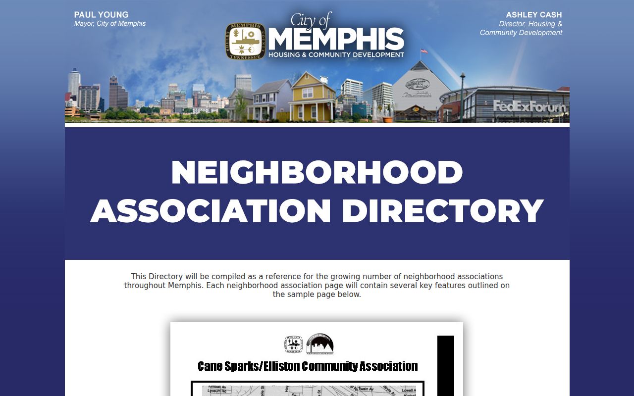
Those fields support a boundary or contact inquiry, but they are not a public list of people who live in an association.
Shelby County Neighborhood Context
The official Shelby County Neighborhoods page connects the county’s neighborhood layer to Central Gardens, Cooper-Young, Evergreen, Glenalden, and Downtown. It also places those groups among Memphis areas such as the Pinch and South Main, plus suburban communities. That geography matters because a postal Memphis label can overlap a different municipality or county context. Use the map’s municipality and neighborhood layers alongside the parcel, rather than treating a postal address as a legal boundary.
Downtown Neighborhood Association, also known as DNA Memphis, describes itself as resident- and business-led, nonprofit since 1981, with hundreds of members. Its public channels include news, meetings, and membership contact, while its member profile area is gated. Joining a community group does not place its members in a public searchable roll. The same restraint applies to congregations, block watches, civic groups, and nonprofit contacts.
The county neighborhood links provide the supported starting points for association context.
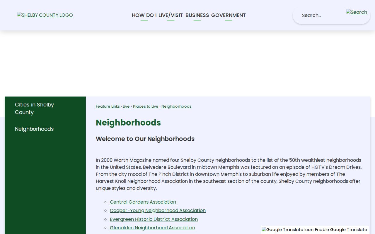
The list is a community reference, not evidence that a named person belongs to a group or occupies a particular parcel.
Shelby County Neighbor Sources Compared
Official records and commercial neighbor tools are different categories. A county map or record is tied to a particular custodian, parcel, or filing date. A commercial compilation may combine parcel, historical address, marketing, and other data. It can merge same-name people, omit protected records, lag behind official changes, or make a parcel owner appear to be an occupant. Neither category should be presented as a complete account of who is on a block.
| Official source | Commercial compilation category | Responsible use |
|---|---|---|
| Maps, Assessor, Register, Election Commission, and association pages have a defined keeper and stated scope. | Data-broker compilations can combine multiple sources with different dates and matching rules. | Preserve the official source and date, then independently check any identity clue. |
| Official sources expose only the fields and records their laws allow. | Compiled profiles may carry old address associations or incomplete suppressions. | Do not use either source to infer unrecorded household members or private contact details. |
Shelby 9-1-1 makes the distinction plain. It assigns and verifies addressing information for public-safety and government functions but does not release a general public name-and-address list. Accurate emergency addressing and public disclosure are different functions.
Shelby County Neighbor Privacy Limits
Private data stays off a responsible block record. The public sources do not provide a general 9-1-1 name-and-address list, a utility or delivery list, DMV personal addresses, ballot choices, or a Safe at Home program file. People who are not named in a public parcel, court, registration, or association record may not appear at all. Protected records can also be absent or represented with a substitute address. An absence is not proof that no one is connected to a location.
Tennessee Safe at Home protects qualifying participants through a substitute-address and confidential-file program, though it does not erase a real-property title chain. If a county owner, mailing, or registration fact appears wrong, contact the originating custodian about correction or confidentiality procedures. Do not republish a visible protected field merely because it appeared in a record.
Lawful personal use. Use block records for personal research, community context, and civic curiosity. Repeated surveillance, intimidation, or harassment can violate Tennessee’s anti-stalking law, T.C.A. § 39-17-315.
When Shelby County Neighbor Records End
When an online map or index does not answer the narrow question, use the matching custodian rather than broadening the search. The Register accepts requests for unavailable copies by email, mail, or office visit when given names, date, or address details. The Election Commission can explain the proper voter record request path. Memphis Public Libraries and Shelby County Archives provide historical context through directories, maps, newspapers, and neighborhood studies. Their historical evidence should be labeled by date and not treated as a current block list.
A good neighbor note is small: parcel relationship, source, retrieval date, record identifier, and a clear limit on what the record proves. That keeps Shelby County neighbors research focused on places and public records without exposing or inventing private household information.